Easy
Village circular route Bodensdorf
Hiking Trail
Information
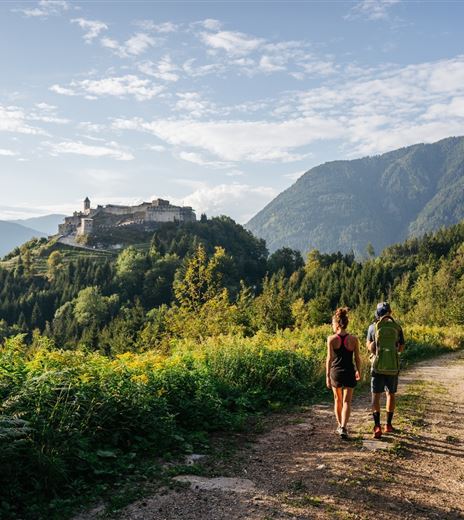
The walking path goes through the village of Bodensdorf and is suitable as a short hike to get to know the village.
On paved and unpaved paths, you can hike the surroundings of Bodensdorf without significant climbs and reach some of the starting points for other hiking tours.
Hiking Trail
Difficulty
Easy
Distance
5,96 kmDuration
01:30 hUphill
122 mDownhill
122 mMax. Altitude
624 mMin. Altitude
502 mMap & Elevation Profile
Recommended Equipment
Casual wear
Features & Characteristics
Experience
Landscape
Endurance
Best Season
Jan
Feb
Mar
Apr
May
Jun
Jul
Aug
Sep
Oct
Nov
Dec
Arrival
Bodensdorf is accessible from the A10 Tauern Motorway exit Villach-Ossiacher See via the B94 Ossiacher See Straße towards Feldkirchen.


