Medium
Kostaleweg
Hiking Trail
Information
Culinary hike with athletic challenge.
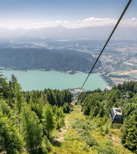
From the summit lift mountain station, this route leads to the Neugarten Almsee hut, onward to the Kammer hut, to the Pöllinger hut, and from there to the mountain station of the Kanzelbahn and the Cielo Mountain Lounge Bar.
Hiking Trail
Difficulty
Medium
Distance
7,33 kmDuration
02:15 hUphill
97 mDownhill
563 mMax. Altitude
1908 mMin. Altitude
1443 mMap & Elevation Profile
Recommended Equipment
Hiking boots, drinking water & rain protection.
Features & Characteristics
Experience
Landscape
Endurance
Best Season
Jan
Feb
Mar
Apr
May
Jun
Jul
Aug
Sep
Oct
Nov
Dec
Arrival
By car, the Gerlitzen Alpe is best reached via the A10 exit "Villach-Ossiacher See". Then simply follow the signs.


