Hard
Blairwitch Trail - T27
Mountainbiking
Open
Information
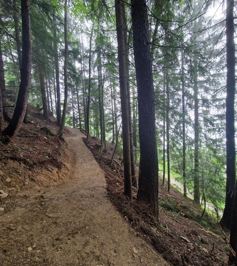
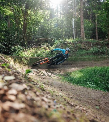
The Blairwitch Trail (T27) is a naturally constructed singletrail in the black (difficult) difficulty level near the Baumgartnerhof by Lake Faak.
The trail can be ridden as an alternative to the Lowgartner Trail or in combination with it.
The Blairwitch Trail (T27) is a naturally constructed singletrail in the black (difficult) difficulty level near the Baumgartnerhof by Lake Faak.
The trail's characteristics are roots, stones, and partly narrower passages. However, the flow is never lost, which is why the...
Mountainbiking
Difficulty
Hard
Distance
555,00 mDuration
00:10 hDownhill
60 mMax. Altitude
926 mMin. Altitude
866 mOpen
Map & Elevation Profile
Recommended Equipment
Suitable mountain bike, helmet, protectors, water, camera
Features & Characteristics
Experience
Landscape
Endurance
Best Season
Jan
Feb
Mar
Apr
May
Jun
Jul
Aug
Sep
Oct
Nov
Dec
Arrival
Coming from Villach via B 83 and B 85 or via B 84 and B 85 to Latschach above Lake Faak. At the beginning of the village, turn south onto Altfinkensteinerstraße and drive towards Burgarena Finkenstein and Baumgartnerhof.


