Hard
Wieserwald route | nock/bike Route 19 with trail T19
Mountainbiking
Information
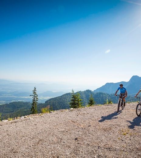
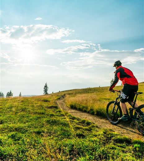
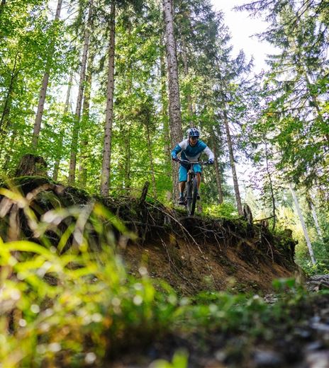
A demanding route, where endurance and riding technique are especially challenged on the fast trail.
Starting point: Afritz, Seepark
Route description: Start at the southeastern shore of Lake Afritz – past the campsites – from the toll, forestry road up to Wieseralm – then right down the Mirnockriesen-Trail T19 (caution steep) – down to Erlach –...
Mountainbiking
Difficulty
Hard
Distance
16,08 kmDuration
03:15 hUphill
868 mDownhill
868 mMax. Altitude
1620 mMin. Altitude
747 mMap & Elevation Profile
Recommended Equipment
Basic skills
An appropriate riding technique and a basic level of fitness are essential for comfortable and safe riding. When braking, it is especially important to use only one finger, to distribute the braking force correctly, and to adjust the basic riding position.
The bike used
Must be adapted to the...
Features & Characteristics
Experience
Landscape
Endurance
Best Season
Jan
Feb
Mar
Apr
May
Jun
Jul
Aug
Sep
Oct
Nov
Dec


