Easy
Wieseralm
Mountain Tour
Information
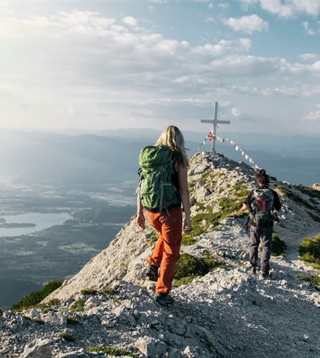
A very intense but beautiful hike high above Afritz Lake.
This path leads from the idyllic Afritz Lake up to Wieseralm and is a nice challenge for hikers.
Mountain Tour
Difficulty
Easy
Distance
23,53 kmDuration
09:24 hUphill
1270 mDownhill
1272 mMax. Altitude
2002 mMin. Altitude
755 mMap & Elevation Profile
Recommended Equipment
Good footwear, provisions, and drinking water.
Features & Characteristics
Experience
Landscape
Endurance
Best Season
Jan
Feb
Mar
Apr
May
Jun
Jul
Aug
Sep
Oct
Nov
Dec
Arrival
The best way to reach Afritz is to take the A10 exit "Villach-Ossiacher See" and from there follow the federal road towards Afritz/Radenthein.


