Medium
Amberger Alp - Mirnock
Hiking Trail
Information
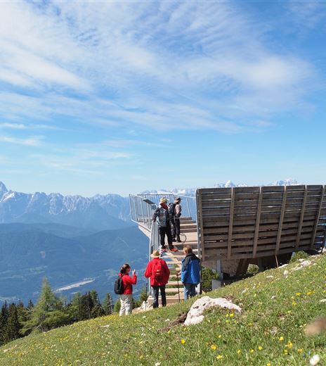
This panoramic Nock hike as a linear route leads from Lärchenboden to the Schwarzsee hut near the Amberger Alp and over the Palnock, Lahnernock, and Rindernock to the world mountain Mirnock.
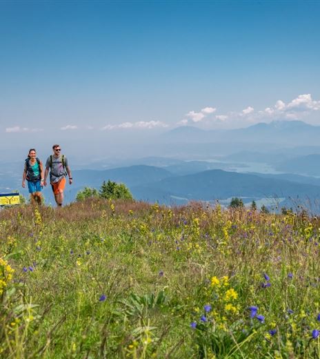
On the broad ridge, you let yourself drift over the gentle alpine meadows from Nock to Nock and are left amazed by the breathtaking panorama.
Hiking Trail
Difficulty
Medium
Distance
12,95 kmDuration
06:30 hUphill
1000 mDownhill
714 mMax. Altitude
2110 mMin. Altitude
1320 mMap & Elevation Profile
Recommended Equipment
Hiking boots with tread sole, backpack, functional underwear, rainwear, hiking poles, sufficient food and drink, maps, first aid kit, mobile phone
Features & Characteristics
Experience
Landscape
Endurance
Best Season
Jan
Feb
Mar
Apr
May
Jun
Jul
Aug
Sep
Oct
Nov
Dec
Arrival
From the Tauern motorway A10 - exit Villach/Ossiacher See, via the B94 (Ossiacher See federal road) and the B98 (Millstätter federal road) to Afritz. Between Strobl's bakery and the Sporthotel Mirnock, the Verditzer street branches off and follows the road...


